Santiago, a city surrounded by hills
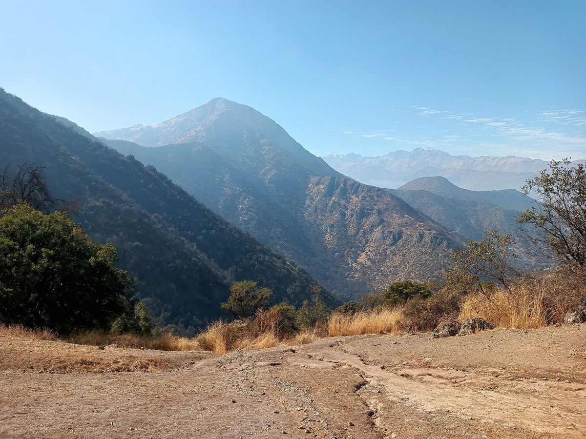
Few capitals have the mountains this close. From Providencia, you can be on an urban trail in minutes, and in one or two hours you reach glaciers and Andean valleys. Almasur recommends choosing your route based on fitness, weather and available time, and always starting early.
Hills and parks within the city
Cerro San Cristóbal (Parquemet)
Santiago's great green lung and the easiest option from the hotel. From Av. Pedro de Valdivia, walk north to Pedro de Valdivia Norte, where the cable car departs and walking trails lead up to the summit and its statue of the Virgin Mary. Pedestrian access is roughly 6:00 to 19:00, with longer hours in summer.
Cerro Santa Lucía
A small, historic hill right downtown, next to Santa Lucía station on Metro Line 1. You can climb it in under an hour via stairs and terraces, and entry is free. Hours vary by season, so confirm before you go.
Cerro Manquehue
Its summit, at about 1,638 m, offers one of the most complete views of Santiago. The route is short but steep, with about 500 to 580 m of elevation gain. In 2026 a new access opened on Vía Café street, in Lo Curro (Vitacura), not yet confirmed as permanent by the municipality. Another option starts at Los Trapenses, in Lo Barnechea.
Cerro Pochoco
In El Arrayán, Lo Barnechea, with a summit at about 1,804 m. It is demanding, with a steep grade and little shade. Access crosses private land and has had temporary closures, so check that it is open.
Foothill parks
- Parque Aguas de San Ramón (La Reina): run by the Asociación Parque Cordillera. It has short routes such as Canto del Agua and full-day hikes such as Salto de Apoquindo, a waterfall of about 30 m.
- Parque Mahuida (La Reina): self-guided trails of varying difficulty; registration is required at the entrance.
- Quebrada de Macul (Peñalolén): open Tuesday to Sunday; the trail to the San Juan waterfall takes about 3 to 4 hours. You must enter and leave within opening hours, and overnight stays are not allowed.
- Cerro Provincia: a classic training climb, with a summit at about 2,700 m and roughly 1,700 m of elevation gain. Access is through the San Carlos de Apoquindo or Puente Ñilhue parks. For experienced hikers only.
Trails in the nearby Andes
Yerba Loca Nature Sanctuary
In Lo Barnechea, with its entrance at curve 15 of the Camino a Farellones. Tickets are sold online only, on the park's official website. Trails leave from Villa Paulina along the stream valley; the route to La Paloma glacier is long and demanding.
El Morado Natural Monument
In the Cajón del Maipo, about 93 km from Santiago, next to Baños Morales. It is managed by CONAF, Chile's park service. A trail of about 6 km reaches El Morado lagoon in roughly 2 hours, with views of the San Francisco glacier. It usually operates in spring and summer; check the season and whether you need a reservation with CONAF.
Cerro La Campana (day trip)
In La Campana National Park (CONAF), between Olmué and Hijuelas, about 1.5 to 2 hours from Santiago. The Andinista trail is the only route to the summit: about 7 km each way and around 8 hours round trip. It has an early entry cutoff, and CONAF closes the summit in winter. Tickets are handled at pasesparques.cl.
Trail table from Providencia
| Route | Difficulty | Approx. duration | Approx. elevation gain | Getting there from Providencia |
|---|---|---|---|---|
| Cerro San Cristóbal | Easy | 1.5 to 2.5 h | 300 m | Walk to Pedro de Valdivia Norte |
| Cerro Santa Lucía | Very easy | 30 to 60 min | 70 m | Metro Line 1 to Santa Lucía |
| Cerro Manquehue | Moderate-hard | 3 to 4 h | 500 to 580 m | Car or ride-hailing to Lo Curro (Vitacura) |
| Cerro Pochoco | Hard | 3 to 4 h | 650 to 750 m | Car or ride-hailing to El Arrayán |
| Aguas de San Ramón | Easy to hard | 1 h to full day | Varies by trail | Car or ride-hailing to La Reina |
| Parque Mahuida | Easy to moderate | 1 to 3 h | Varies by trail | Car or ride-hailing to La Reina |
| Quebrada de Macul | Moderate-hard | 3 to 4 h | Varies | Car or ride-hailing to Peñalolén |
| Cerro Provincia | Very hard | 6 to 10 h | 1,700 m | Car to San Carlos de Apoquindo |
| Yerba Loca | Moderate to hard | 2 h to full day | Varies | Car, about 1 h via Camino a Farellones |
| El Morado | Moderate | 4 to 6 h | Moderate | Car or tour, 2 to 2.5 h via Cajón del Maipo |
| Cerro La Campana | Hard | 8 h | High | Car, 1.5 to 2 h toward Olmué |
Durations and elevation gains are approximate, round trip, and vary by route and pace.
Safety and season
- Water and sun: carry at least 2 liters per person, a hat and sunscreen. Most hills have little shade.
- Hours: many parks have entry cutoffs and closing times. Plan to be back in daylight.
- Registration and tickets: parks such as Yerba Loca, Mahuida, those of the Asociación Parque Cordillera and CONAF's parks require registration or a ticket.
- Season: Santiago's summer is hot, so start at sunrise. In winter there is snow at altitude and some routes close.
- Tell someone your route and stay on marked trails.
In winter you can swap hiking boots for snow: see skiing and snow near Santiago. For easier plans, check things to do in Providencia, and if you're planning an activity for your team, read our guide to corporate events in Santiago.